Route overview
The Teide climb from the south is a bucket-list ascent through pine forest into high-altitude lava fields.


Starts at Puerto de Santiago · Road bike
85.1 km
distance
2,163 m
elevation gain
3H31M
ride time
Hard
difficulty
From the ocean to the volcano — a legendary high-altitude ascent through Tenerife's pine forest and lava fields.
Ride it with a local guide
Cycling Islands runs this ride as a guided tour: van pick-up from your hotel, local guide, snacks and photos. Rent your bike from KUDO or bring your own.
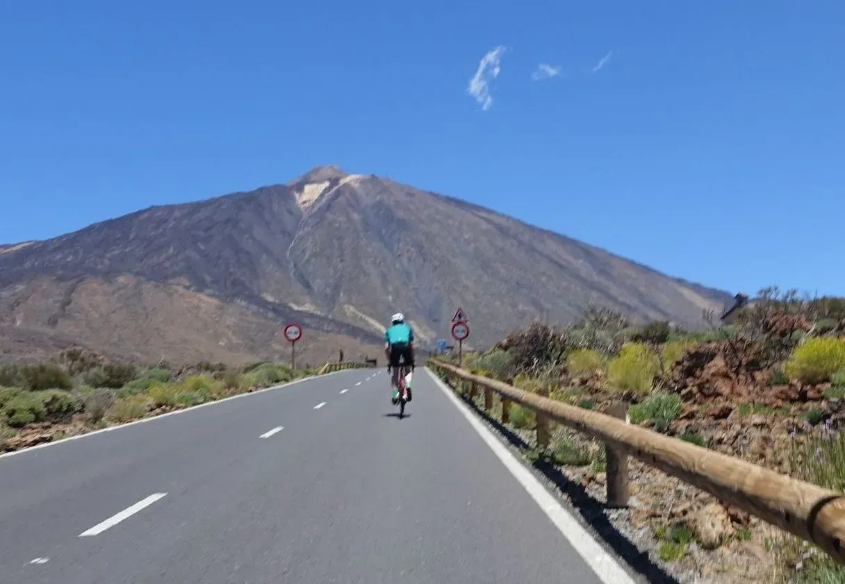 TeideEvery Wednesday · 100 km · €80See the tour →
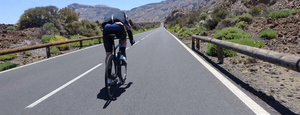 Vuelta al TeideOn request · 140 km · €130See the tour →
The Teide climb from the south is a bucket-list ascent through pine forest into high-altitude lava fields.
Long steady grades with sections over 8%. Weather changes quickly above 2,000 m.
Wide roads but exposed to wind and cold at altitude.
Vilaflor, Chío, Teide National Park viewpoints.
Compact with 34t cassette essential.
Very early start; afternoon wind common on the mountain.
Fit riders training for sportives or altitude camps.
All cycling routes in Tenerife · Road bike rental in Tenerife
Check weather and wind before you go — especially on Teide above 2,000 m. Start early to avoid heat, traffic, and afternoon trade winds. Download the GPX below and charge your GPS or phone.
Ride planning
7-day forecast · Canary Islands
Today
27°
Today
27°
21°
Tue
26°
21°
Wed
24°
20°
Thu
24°
19°
Fri
26°
21°
Sat
26°
21°
Sun
25°
23°
Forecast for Puerto de Santiago (coast). Mountain and Teide conditions can differ — check Windy or AEMET before long climbs.
More rides in this collection:

Route to Masca Village
39.54 km · 1,471 m · 1H38M

Epic Masca – Garachico Loop
86,9 Km · 2,564 m · 3H35M

West Coast Warrior
79,85 Km · 2,435 m · 3H18M

Brutal Chirche Climb
38.5 km · 1,093 m · 1H35M
Currently not available
We use cookies to make the site work, measure traffic and personalise content. You can change this any time. Cookie Policy