
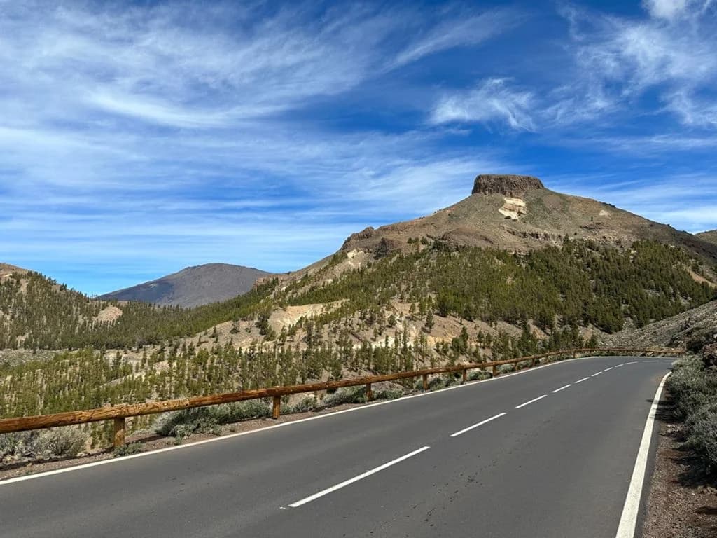
From the beach to the volcano
Playa de las Américas sits at sea level. A little over 35 km up the road, you are standing above 2,000 m on the rim of Las Cañadas, the giant caldera around Mount Teide. Few places in Europe let you ride from a beach to a volcanic plateau in a single climb, and that is why so many cyclists come to the south of Tenerife.
There is more than one way up. From our shop on Av. Antonio Domínguez we have mapped four road routes into Teide National Park. They share the same reward but feel very different: one is short and steep, one takes you all the way to the Teide cable car, and two are loops that climb one side of the mountain and descend another.
This guide puts them side by side: distance, climbing, how long the climb really is, where you can refill bottles, and who each route suits. Every route has its own page with the GPX file and Strava link, so once you have chosen, you can load it on your computer and go.
The four routes at a glance
| Teide Standart | Teide through Arona | Teide through Chío | Granadilla – Vilaflor – Boca Tauce | |
|---|---|---|---|---|
| Distance | 78 km | 99 km | 94 km | 91 km |
| Climbing | 2,365 m | 2,741 m | 2,434 m | 2,419 m |
| Highest point | ~2,200 m | ~2,300 m (cable car) | ~2,200 m | ~2,200 m |
| Main climb | 36 km, ~6% | 50 km, ~4.6% | 59 km, ~3.7% | 47 km, ~4.6% |
| Shape | Out and back | Out and back | Loop, up the west | Loop, up the east |
| Riding time (approx.) | 4–5 h | 5–6.5 h | 4.5–6 h | 4.5–6 h |
| Best for | Your first Teide ride | The full Teide experience | A steady, gentler gradient | Variety, a different way up |
Main climb = from the shop to the highest point, with the average gradient across that whole stretch. Short dips along the way are included, so the steepest parts are harder than the average. Riding times are estimates for a fit amateur, including short stops.
The routes in detail
1. Teide Standart: the shortest way to the volcano
78 km · 2,365 m · out and back · Route page, GPX and Strava →
This is the most direct line from the coast to the caldera. You leave Las Américas and start climbing almost immediately: Arona at around km 9 (≈520 m), then Vilaflor at km 23 (≈1,340 m), the highest village in Spain. Above Vilaflor the houses stop and the road climbs through the Canary pine forest to the high point of about 2,200 m at km 36. A short drop takes you to Boca Tauce, the junction on the edge of Las Cañadas, where you turn around.
The climb is 36 km at an average of about 6% with very few breaks, so it is the steepest of the four. The reward is the descent: the same 36 km back to the sea, almost without pedalling.
Choose it if this is your first time up Teide, you have half a day, or you want the most climbing per kilometre.
2. Teide through Arona: all the way to the cable car
99 km · 2,741 m · out and back · Route page, GPX and Strava →
The first 39 km are the same as the Standart: Arona, Vilaflor, the pine forest, Boca Tauce. But instead of turning around, you ride on across the floor of the caldera. You pass the Roques de García rock formations and the Parador at around km 45 and finish the climb at the base station of the Teide cable car, about 2,300 m, at km 50. Then you return the same way.
The extra 20 km and 400 m of climbing are worth it. The section across Las Cañadas is the postcard Teide: lava fields and the volcano right in front of you. Expect tour buses and hire cars around the viewpoints from late morning, so an early start pays off. Because the climb is spread over 50 km, the average gradient is gentler, about 4.6%.
Choose it if you want the full Teide experience and photos at the foot of the peak, and you are comfortable with five to six hours on the bike.
3. Teide through Chío: up the west, down the south
94 km · 2,434 m · loop · Route page, GPX and Strava →
This loop warms you up before the mountain starts. You head north-west along the coast past Adeje and climb gradually to Guía de Isora (≈600 m, km 20) and the villages around Chío (≈800–1,150 m, km 28–35). From there the road climbs through the lava fields of the western slope to Boca Tauce at km 54. The high point of about 2,200 m comes a few kilometres later, on the road towards Vilaflor. Then it is downhill to the sea through Vilaflor and Arona.
It has the longest climb of the four, almost 60 km, but also the gentlest average, about 3.7%. If you prefer a long, steady effort to a steep one, this is your route. Between Chío and Vilaflor there are no villages, so carry enough water for roughly 30 km of climbing.
Choose it if you like loops rather than out-and-back rides, and a steady gradient over a steep one.
4. Granadilla – Vilaflor – Boca Tauce – Arona: the eastern approach
91 km · 2,419 m · loop · Route page, GPX and Strava →
This route reaches Vilaflor from the other side. You ride east through the inland villages of the south, San Miguel de Abona (≈590 m, km 15) and Granadilla de Abona (≈640 m, km 20), then turn uphill to Vilaflor (≈1,270 m, km 33). From there you climb through the pine forest to about 2,200 m and Boca Tauce at km 50, and come home down through Vilaflor and Arona.
The first 20 km roll more than they climb, which makes this a good choice if you want to warm up before the big effort. The main climb is about 47 km at an average of 4.6%.
Choose it if you have already done the Standart and want a different way up, or you prefer a loop that starts gently.
Which one should you ride?
- First time on Teide, or short on time: Teide Standart. The shortest ride, and you are back for a late lunch.
- You want to see the volcano up close: Teide through Arona. It is the only one of the four that crosses the caldera to the foot of the peak.
- You don't like steep climbing: Teide through Chío. The longest climb, but the gentlest.
- You have done the Standart and want something new: Granadilla – Vilaflor – Boca Tauce. A different approach, the same summit views.
- Staying several days? Ride the Standart first to learn the climb, then do one of the loops later in the week.
All four routes come home the same way, down from Vilaflor through Arona. After the first ride you will know the descent, which makes the next one easier.
Before you go: practical tips
Water and food. On the southern climb you can refill in Arona, La Escalona and Vilaflor. Vilaflor is the last village before the national park, so fill both bottles there. On the Arona route, the Parador and the cable car base station have cafés (opening hours vary). On the Chío loop there is nothing between the villages around Chío and Vilaflor, about 30 km of climbing, so leave Chío with full bottles. Carry gels or bars either way: you will burn far more than you think.
It is colder up there. At 2,000 m the air is often 10–15 °C cooler than on the beach, and it is usually windier. Even in summer, take a gilet and arm warmers for the descent. In winter, ice and occasionally snow can close the roads into the park, so check that they are open before you set off. If in doubt, ask us in the shop.
Start early. Mornings are calmer and cooler, the light is better for photos, and there is less traffic in the park. Clouds often build over the pine forest around midday.
Gearing. With 36–60 km of uphill, low gears make the difference between enjoying the climb and grinding through it. A compact chainset (50/34) with a 32 or 34-tooth cassette is ideal. Tell us which route you are planning when you book and we will help you choose the right bike.
The descent. All four routes finish with more than 35 km of downhill. Keep your speed in check on the bends below Vilaflor, watch for cars and buses coming up, and stop if your hands get tired from braking.
Sun. The UV at altitude is strong even on cool days. Sunscreen and sunglasses are not optional.
FAQ
How long does it take to cycle up Teide from Las Américas?
On the Teide Standart, a fit amateur reaches the high point in roughly 2.5–3.5 hours, and the whole ride takes about 4–5 hours with stops. The longer routes add one to two hours.
Can you cycle to the summit of Teide?
No. The roads in the national park reach about 2,300 m; the summit, at 3,715 m, can only be reached by cable car and on foot. The final path to the top needs a free permit from the national park.
Do I need to be very fit?
You need to be comfortable riding for several hours and climbing for two or more hours without a long break. If you are unsure, ride one of our shorter Las Américas loops first, such as the TF-465 loop or the Piedra Hincada loop.
Can I do it on an e-bike?
These routes are planned for road bikes. Ask us about e-bikes and battery range before you plan a Teide ride on one.
What is the best time of year?
You can ride all year round. Spring and autumn are the most comfortable; in winter the coast is mild but the top can be cold or, after a storm, closed by snow. In summer, start very early to avoid the heat on the lower slopes.
Start at KUDO Las Américas
All four routes start and finish at our shop on Av. Antonio Domínguez in Playa de las Américas, a short ride from Los Cristianos and Costa Adeje. Book a road bike online and tell us which route you are planning.
Rent a road bike in Las Américas →
More from Teide country
- Staying in Los Gigantes or Puerto de Santiago? Our Teide Climb starts at our Puerto de Santiago shop.
- On a gravel bike: Las Américas to Teide through Playa San Juan, 137 km and 3,195 m for very strong riders.
- All cycling routes in Tenerife